*Image above shows a portion of the Fivemile Ridge 7.5-Minute Quadrangle I mapped in 2018 (Smith et al., 2019). The map focused on the complex and chaotic geology of the Markagunt Gravity Slide in southwest Utah.
GIS
GIS work has included the following projects:
- Automated drone mapping of volcaniclastic deposits (2018-Present)
- Watershed management, United States Forest Service (2016-2019)
- Post-wildfire hazard analysis while working on USFS BAER team for Brian Head Fire (2017)
- Geologic map production for the Utah Geological Survey (2016-Present)
- Impact monitoring for the Bureau of Land Management (2015-2017)
- Automated Lands Program, United States Forest Service (2015-2016)
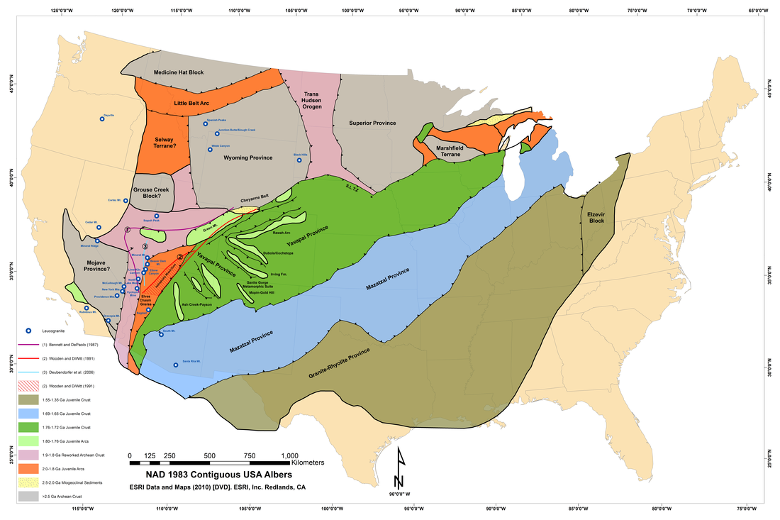
- Leucogranite deposits of North America database (Smith et al., 2016)
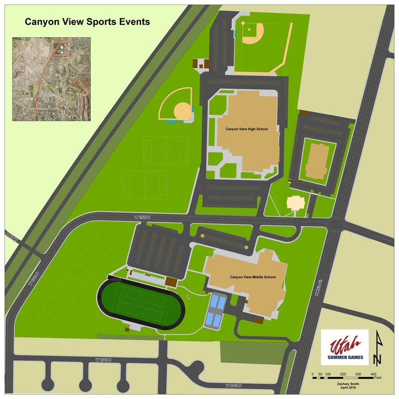
- Utah Summer Games Event Mapping (2016)
Skills include:
- ArcGIS Pro, Desktop, Online, and Collector
- Python programming
- GPS: ArcGIS Collector, Garmin, Trimble
- Geology: Move, StraboSpot
- Photogrammetry: Agisoft Metashape, Pix4D
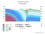
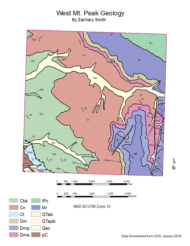
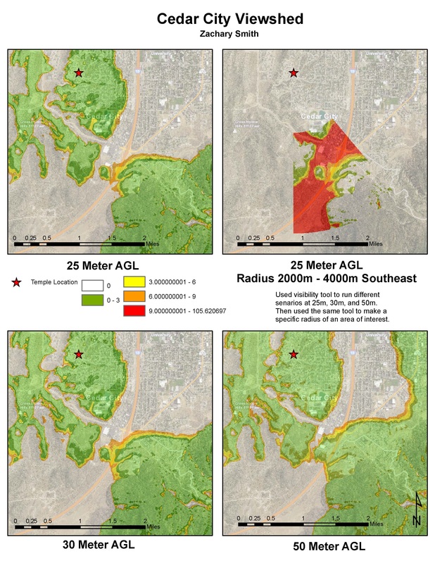
Early (2015-2016) project and class mapping projects:
|
|
|
|
|
