The main focus of my geologic mapping has been the southern Marysvale volcanic field. The image above is a section of the Geologic Map of the Fivemile Ridge 7.5-minute Quandrangle (Smith et al., 2019a).
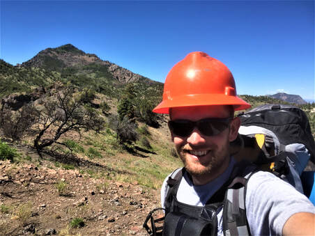
Field work during mapping of the Fivemile Ridge Quadrangle in 2018. Much of the mapping area was burned during the 2017 Brian Head Fire, so PPE including a hardhat was necessary during mapping.
Other geologic maps I have been involved with include the "Interim geologic map of the southwestern quarter of the Beaver 30 ' x 60' quadrangle, Beaver, Iron, and Garfield Counties, Utah" and "Interim geologic map of the northwestern quarter of the Beaver 30 ' x 60' quadrangle, Beaver, Iron, and Garfield Counties, Utah".
