DRONE MAPPING
I used uncrewed aerial vehicles (drones) to study the formation of volcanic fields. My research focuses on using drones to build measurement logs of vertical volcaniclastic stratigraphy (Smith and Maxwell, 2020 - In Review). These logs include measurements such as grain size (e.g. axis, area, perimeter) grain shape, (circularity, roundness, solidity), weighted clast position (parameter describing the grading of a unit - e.g. inverse, normal, ungraded), and nearest clast (distance between clasts to identify clast supported vs. matrix supported units). The goal of this research is to use drone to make fully reproducible measurements that provide a fully quantifiable classification of coarse-grained volcaniclastic deposits as opposed to more traditional qualitative classifications schemes.
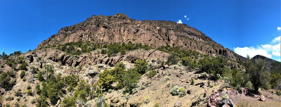
Volcaniclastic deposits in the Marysvale volcanic field, southwest, Utah.
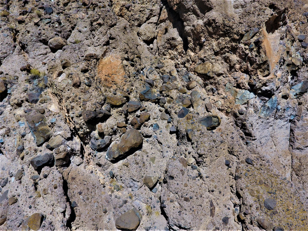
Volcaniclastic breccia in the Marysvale volcanic field. Image acquired using a Phantom 4 drone.
